


12,5 km | 19,9 km-effort


Usuario


Aplicación GPS de excursión GRATIS
 SityTrail
IGN / Institutos geográficos
SityTrail World
El mundo es suyo
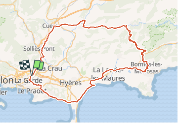
Ruta Bicicleta de 93 km a descubrir en Provenza-Alpes-Costa Azul, Var, La Garde. Esta ruta ha sido propuesta por tracegps.
Circuit de 93 kms. les principales difficultés sont la monté de Bormes les Mimosas et le col du Babaou. Bonne balade à tous

Senderismo

Senderismo

Senderismo
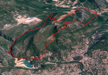
Senderismo

Senderismo
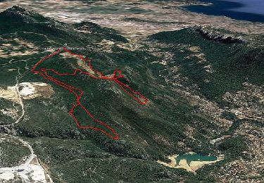
Senderismo

A pie

Senderismo

Bicicleta